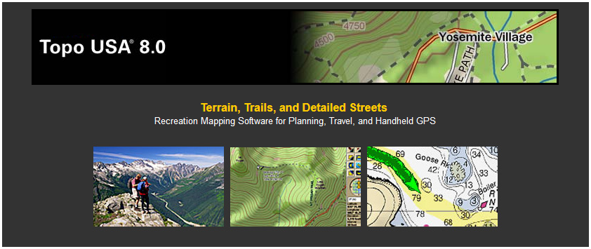
YARMOUTH, ME — June 24, 2009 — DeLorme, the innovation leader in mapping and GPS technology, today announced the release of Topo USA 8.0, with streamlined map-to-GPS transfers, paperless geocaching, new road detail for Canada and Mexico, and improved in-vehicle GPS navigation with laptop PCs.
Taken together, these advances significantly improve the GPS user experience, and extend the program's road coverage from Alaska to the Yucatan.
Time-Saving Map to GPS Transfers
One of the outstanding values for Topo USA and DeLorme Earthmate PN-Series GPS users is the DeLorme Map Library, where users can acquire supplemental aerial imagery, USGS 1:24,000 topo quads, and NOAA nautical charts, all for a low-cost $29.95 annual subscription.
With Topo USA 8.0, subscribers send selected Map Library downloads directly to their Earthmate PN-Series GPS receivers ? a huge time-saver. A previously-required second selection step within Topo USA has been eliminated.
Paperless Geocaching, Pocket Query Imports, Easier Send-to-GPS
Geocachers will enjoy a true paperless experience with Topo USA 8.0. Cache descriptions are imported in full, along with other cacher's log notes. The 15,000 character capacity per cache eliminates truncated descriptions, or the need to edit and eliminate helpful information before sending to GPS.
Topo USA also supports Pocket Queries from Geocaching.com, and a new de-clutter feature displays Pocket Query results in ultra-readable fashion. Each cache is marked with its correct Geocaching.com symbol (traditional, multi, virtual, letterbox hybrid, etc.).
Sending caches from Topo USA to a PN-Series receiver is simpler than ever; users can single- or multi-select caches from the screen map, or from the list in the draw tab. PN-Series GPS receivers also enable direct send-to-GPS cache downloads from Geocaching.com.
Voice-Guided GPS Navigation
For in-vehicle travel, Topo USA users now enjoy the full-range of DeLorme GPS navigation features:
- Voice guidance
- NavMode,
with optional 3-D aspect, cockpit-style large-type displays of
turning directions, distance to finish, ETA, and more
- GPS
Radar to locate upcoming attractions, lodgings, restaurants, retail
stores, and travel services while on the road
- Automatic
back-on-track routing in case of detours and unplanned side trips
Canada and Mexico Detail
With Topo USA 8.0, users can extend their travel planning both North and South of the U.S. border. Added coverage includes streets, roads and places of interest in Canada, and main roads in Mexico. As always, U.S. streets and roads, trails, and places of interest have been updated.
3-D, Automatic Road and Trail Routing, Much More
Naturally, Topo USA 8.0 still offers all the other detail and features that have made it so popular with outdoors enthusiasts and GPS users, including 3-D with flyovers, 360-degree rotation and adjustable aspect; automatic road and trail routing, campgrounds, public lands (BLM, state and national parks and forests, others), ability to import GPS tracks as routable roads or trails, photo geo-tagging, and support for NMEA-compliant 3rd party handheld receivers and athletic GPS wrist computers.
Topo USA 8.0 will be available beginning this month at major retailers nationwide, and online from DeLorme.
About DeLorme
DeLorme is the longtime leader in innovative mapping and GPS solutions for both consumer and professional markets. Based in Yarmouth, ME, DeLorme offers a unique set of core competencies across the complex areas of map data creation and management, software development, and integration with GPS. The ability to develop all the critical components necessary to compete in the fast-changing navigation world provides a distinct competitive advantage. DeLorme is one of a handful of mapmakers that still own and produce their own content. Its Street Atlas USA, Topo USA, and XMap GIS map software, along with its Earthmate GPS products, have introduced countless first-to-market innovations.