|
|
|
|
|
|
|
|
|
Overview |
|
|
|
The Most Versatile Handheld GPS Navigator for any
Outdoor Adventure |
- High-performance navigation through
combination of advanced mapping, trip computer, electronic
compass, and barometric altimeter.
- Unparalleled ease-of-use with
combination of simplified touch screen interface and "hot
key" physical buttons to quickly access main features.
- Multi-recreational with dedicated
outdoor features and a large range of mapping options
preloaded on plug and play micro SD cards or web download.
Fully functional right out of the box, the feature-packed
Safari is the ideal all-purpose outdoor handheld GPS. The
device includes a large color transflective touch-screen for
easy viewing and enhanced functionality. It incorporates a
high-performance processor and high-speed memory for quick
map redraw and panning; a trip computer that records trails,
trip times and distance; pre-loaded mapping content with
detailed hill shading, topographic contours, primary and
secondary roads and key Points of Interest (POI); and an
unlock option for full-featured turn-by-turn navigation. The
innovative GPS handheld also offers multimedia resources
including MP3/voice notes as well as a picture and video
player. The Safari can be customized to meet individual
needs; accepting many public domain files and
community-based content such as GPX trails and general
outdoor POIs.
|
|
|
|
|
|
Specifications |
|
|
|
Part Number |
000-0125-39 (NA) |
|
Unit Dimensions |
5.1" x 2.3" x 1.2" (13.0 cm x 6.0 cm x 3.1 cm) |
|
Display Size |
1.6" x 2.1" (4.0 cm x 5.3 cm), 2.7" (6.8 cm) diagonal |
|
Display Resolution |
240 x 320 |
|
Display Type |
color transflective TFT LCD touchscreen |
|
Weight |
5.8 oz (165 g) without batteries |
|
Battery Type |
AA x 2 |
|
Battery Life |
15 hours (Lithium), 10 hours (Alkaline) |
|
Waterproof |
Yes (IPX7) |
|
Floats |
No |
|
GNSS Receiver |
High Sensitivity, 42 Channels |
|
GNSS Antenna |
Patch |
|
GNSS Constellations |
GPS +
WAAS/EGNOS |
|
Accuracy |
< 7 meters (GPS), < 5 meters (WAAS/EGNOS) |
|
Altimeter |
Yes |
|
Barometer |
Yes |
|
Compass |
3D |
|
Interface |
Mini
USB |
|
Memory |
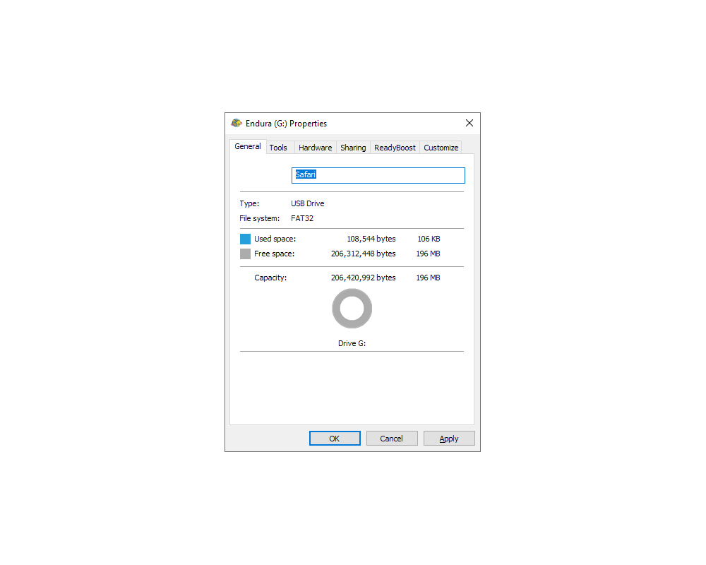
196 MB user data |
|
Preloaded Maps |
Yes (Advanced) |
|
Preloaded POI |
Yes (200) |
|
Add Maps |
Yes |
|
Data Card |
Yes (microSD Card, max 32GB) |
|
Waypoints |
4000 |
|
Routes |
500 |
|
Track Logs |
100 |
|
Geocaches |
4000 |
|
Speaker |
Yes |
|
Microphone |
Yes |
|
Headphone Jack |
Yes |
|
NMEA Data Out |
Yes (NMEA 0183) |
|
|
|
|
|
Documents |
|
|
|
Lowrance Endura Quick Start Guide |
|
Lowrance Endura Operators Manual |
|
Lowrance Endura Software Enhancement v1.5 |
|
Lowrance Endura Safari Brochure |
|
Lowrance Endura
Series Features |
|
|
|
|
|
Media |
|
|
|
Press Release - Lowrance Endura Series |
|
Press Release - Endura Version 1.5 Performance Upgrade |
|
|
|
|
|
Update History |
|
|
|
1.5.1
(13OCT11) |
- Replacement of geocaching .loc file support for basic
paperless geocaching. This is in addition to the .gpx file
support included with the 1.5 version.
- Increased panning precision using directional buttons
especially with high levels of content.
- Plus, few minor bug fixes.
|
|
|
|
1.5.0 (13JUL11) |
- 15-30% Faster startup, more responsive performance and
better battery life.
- New Zoom Indicator Bar and Cursor 'crosshairs' graphics.
- Significantly improved GPX file handling including new
40MB capability from past 3MB limit.
- New tools:
- Area Calculator
- Waypoint Averaging
- Waypoint Projection
- New functionality:
- Screen Capture
- Ability to turn off the Navigation Arrival Alarm
(Destination Reached alarm and message)
- Delete All for data file categories
- Geocache icon display options for map screen
|
|
|
|
1.4.0 (26MAY10) |
- Add compatibility for Endura to plug-and-play marine
fishing/mapping content (Fishing Hot Spots Pro and
LakeMaster, etc).
- Improved hydrography – display of intermittent streams
and lesser waterways has been deemphasized to improve
readability of other features.
- Improved land use data – symbology and colors for public
lands have been improved for better readability.
- Various other minor enhancements or bug fixes.
|
|
|
|
1.3.0 (05FEB10) |
- Installs the Navionics Viewer onto
the Endura GPS device. This Viewer can then be accessed
through the Tools button on the Main Menu.
- The Navionics Viewer provides customers the capability
to use the Navionics microSD cards that they have purchased
for their marine chart plotters with an Endura GPS as a
secondary navigation device. The Navionics cards that are
compatible with Endura are the Navionics Gold Marine
(coastal charts) and Navionics Hot Maps Premium Lake charts
on microSD cards.
- No other changes are included in this software update.
|
|
|
|
1.2.0 (01DEC09) |
- Additional position formats and datums added including:
- Position Formats - UTM, MGRS, and other regional
grids
- Map Datums - NAD27, NAD83, and other regional datums
- Improved map panning, zooming and redraw with physical
buttons.
- Enhanced Compass calibration.
- Refined user interface and better visibility on the Trip
Computer and Satellite Status page displays.
- Added ability to import/export GPX files directly from a
microSD card or save files to a microSD card.
- Improved handling of GPX trail and waypoint files for
map display or list loading.
- Improved compatibility of Endura recorded trails and
waypoints with 3rd party websites or software programs.
|
|
|
|
1.1.0 (11NOV09) |
- Improved hydrography – Several improvements have been
made so that Endura GPS units will display ocean and
shoreline detail in much better detail than previously
available.
- Improved land use detail – Improved the
on-device rendering of land use detail (government lands)
including enhanced borders and shading.
- NAVTEQ Canada –
corrected NAVTEQ Canada roads for Safari.
- Improved file
handling for internal user memory – Improves handling and
file management for GPX files and folders when stored in
internal memory.
|
|
|
|
|
