|
|
|
|
|
|
|
|
|
Overview |
|
|
|
The Most Powerful and Complete Out-of-the-Box Outdoor
GPS Navigation Experience |
- Fully Loaded with detailed topographic
outdoor maps and content in a high performance GPS computer with
electronic compass and altimeter.
- Unparalleled
ease-of-use with combination of simplified touch screen
interface and "hot key" physical buttons to quickly access main
features.
- Multi-recreational with
dedicated outdoor features and a large range of mapping options
preloaded on plug and play micro SD cards or web download.
Designed for versatility, the Endura Sierra
provides never before seen expansion capabilities. The device
contains 4GB of internal memory and provides a micro SD
expansion slot supporting up to an additional 32GB of storage
for mapping, pictures and MP3 audio files. The pre-loaded
content includes Intermap's Accuterra high-resolution
topographic maps, extensive outdoor trail networks and Points of
Interest, as well as the NAVTEQ road network for the contiguous
48 states with an upgrade option for full-featured turn-by-turn
navigation. In addition, Lowrance offers a full range of
optional mapping content including Fishing Hot Spots and other
national and international map content. Fully customizable, the
Sierra accepts many public domain files and community-based
content such as GPX trails and general outdoor POI’s.
|
|
|
|
|
|
Specifications |
|
|
|
Part Number |
000-0125-40 (NA) |
|
Unit Dimensions |
5.1" x 2.3" x 1.2" (13.0 cm x 6.0 cm x 3.1 cm) |
|
Display Size |
1.6" x 2.1" (4.0 cm x 5.3 cm), 2.7" (6.8 cm) diagonal |
|
Display Resolution |
240 x 320 |
|
Display Type |
color transflective TFT LCD touchscreen |
|
Weight |
5.8 oz (165 g) without batteries |
|
Battery Type |
AA x 2 |
|
Battery Life |
15 hours (Lithium), 10 hours (Alkaline) |
|
Waterproof |
Yes (IPX7) |
|
Floats |
No |
|
GNSS Receiver |
High Sensitivity, 42 Channels |
|
GNSS Antenna |
Patch |
|
GNSS Constellations |
GPS +
WAAS/EGNOS |
|
Accuracy |
< 7 meters (GPS), < 5 meters (WAAS/EGNOS) |
|
Altimeter |
Yes |
|
Barometer |
Yes |
|
Compass |
3D |
|
Interface |
Mini
USB |
|
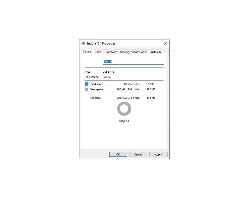
Memory |
196 MB user data |
|
Preloaded Maps |
Yes (Premium) |
|
Preloaded POI |
Yes (1.7 million) |
|
Add Maps |
Yes |
|
Data Card |
Yes (microSD Card, max 32GB) |
|
Waypoints |
4000 |
|
Routes |
500 |
|
Track Logs |
100 |
|
Geocaches |
4000 |
|
Speaker |
Yes |
|
Microphone |
Yes |
|
Headphone Jack |
Yes |
|
NMEA Data Out |
Yes (NMEA 0183) |
|
|
|
|
|
Documents |
|
|
|
Lowrance Endura Quick Start Guide |
|
Lowrance Endura Operators Manual |
|
Lowrance Endura Software Enhancement v1.5 |
|
Lowrance Endura Sierra Brochure |
|
Lowrance Endura
Series Features |
|
|
|
|
|
Media |
|
|
|
Press Release - Lowrance Endura Series |
|
Press Release - Endura Version 1.5 Performance Upgrade |
|
|
|
|
|
Update History |
|
|
|
1.5.1
(13OCT11) |
- Replacement of geocaching .loc file support for basic
paperless geocaching. This is in addition to the .gpx file
support included with the 1.5 version.
- Increased panning precision using directional buttons
especially with high levels of content.
- Plus, few minor bug fixes.
|
|
|
|
1.5.0 (13JUL11) |
- 15-30% Faster startup, more responsive performance and
better battery life.
- New Zoom Indicator Bar and Cursor 'crosshairs' graphics.
- Significantly improved GPX file handling including new
40MB capability from past 3MB limit.
- New tools:
- Area Calculator
- Waypoint Averaging
- Waypoint Projection
- New functionality:
- Screen Capture
- Ability to turn off the Navigation Arrival Alarm
(Destination Reached alarm and message)
- Delete All for data file categories
- Geocache icon display options for map screen
|
|
|
|
1.4.0 (26MAY10) |
- Add compatibility for Endura to plug-and-play marine
fishing/mapping content (Fishing Hot Spots Pro and
LakeMaster, etc).
- Improved hydrography – display of intermittent streams
and lesser waterways has been deemphasized to improve
readability of other features.
- Improved land use data – symbology and colors for public
lands have been improved for better readability.
- Various other minor enhancements or bug fixes.
|
|
|
|
1.3.0 (05FEB10) |
- Installs the Navionics Viewer onto
the Endura GPS device. This Viewer can then be accessed
through the Tools button on the Main Menu.
- The Navionics Viewer provides customers the capability
to use the Navionics microSD cards that they have purchased
for their marine chart plotters with an Endura GPS as a
secondary navigation device. The Navionics cards that are
compatible with Endura are the Navionics Gold Marine
(coastal charts) and Navionics Hot Maps Premium Lake charts
on microSD cards.
- No other changes are included in this software update.
|
|
|
|
1.2.0 (01DEC09) |
- Additional position formats and datums added including:
- Position Formats - UTM, MGRS, and other regional
grids
- Map Datums - NAD27, NAD83, and other regional datums
- Improved map panning, zooming and redraw with physical
buttons.
- Enhanced Compass calibration.
- Refined user interface and better visibility on the Trip
Computer and Satellite Status page displays.
- Added ability to import/export GPX files directly from a
microSD card or save files to a microSD card.
- Improved handling of GPX trail and waypoint files for
map display or list loading.
- Improved compatibility of Endura recorded trails and
waypoints with 3rd party websites or software programs.
|
|
|
|
1.1.0 (11NOV09) |
- Improved hydrography – Several improvements have been
made so that Endura GPS units will display ocean and
shoreline detail in much better detail than previously
available.
- Improved land use detail – Improved the
on-device rendering of land use detail (government lands)
including enhanced borders and shading.
- NAVTEQ Canada –
corrected NAVTEQ Canada roads for Safari.
- Improved file
handling for internal user memory – Improves handling and
file management for GPX files and folders when stored in
internal memory.
|
|
|
|
|
