 |
|---|
Garmin BirdsEye maps
can supplement the comprehensive topographic and/or detailed street maps on your Garmin handheld device with brilliant high-resolution satellite imagery or highly-detailed raster maps.
Transferring BirdsEye high-resolution imagery to your compatible Garmin GPSr
provides real-life views of roads, buildings and terrain, giving you a true representation of your surroundings. These images can be layered with existing Garmin and third-party vector maps installed on your handheld device.
Read the
Garmin BirdsEye Maps press release.
Compare
BirdsEye BaseCamp vs BirdsEye Direct.
- Note: Garmin discontinued BirdsEye subscription services in May of 2022.
- Most Garmin GPSr include a free one year subscription to access unlimited BirdsEye Satellite imagery.
- This subscription starts automatically the first time a GPSr is used to load BirdsEye maps into BaseCamp.
- There are no account creation or device registration requirements to access this free one year subscription.
- Downloaded imagery does not expire, and can be used with the same device in perpetuity.
- Expired subscriptions can be renewed at any time to access additional and/or updated satellite imagery as desired.
- Garmin offers
multiple BirdsEye subscription options to meet your individual needs:
- This annual subscription allows you to transfer an unlimited number of satellite and aerial image segments to one device
- Seamlessly integrate these images into your handheld's maps whenever you need them
- Coverage and level of detail will vary by location
- Heavily populated areas are updated more frequently, usually on an annual basis
- Lesser populated areas are updated less frequently, usually on a biennial basis for most regions
- Existing BirdsEye satellite maps must be re-downloaded to display updated satellite imagery
- BirdsEye map issues should be reported here
- BirdsEye Satellite was upgraded to provide clearer and more vivid imagery in February 2020
- Warning: In some areas the updated BirdsEye Satellite imagery is of substantially lower quality than previous versions.
- See the differences between 2014 and 2020 satellite imagery in BirdsEye Comparison.
- Tip: Do not delete or overwrite any of your existing BirdsEye maps with the new 2020 satellite imagery.
- Enhance your journey with detailed raster maps for the U.S. and Canada
- This subscription allows you to transfer an unlimited amount of 1:24,000 scale USGS and 1:50,000 scale NRC raster maps to one handheld device
- With USGS/NRC raster maps, you will have a new level of detail specifically where you need it most
- BirdsEye Select is highly-detailed raster imagery that covers areas of Germany, France, Great Britain and Ireland, as well as Kompass-branded map coverage for Austria + East Alps (Southern Germany/Northern Italy) and Switzerland
- Each single purchase allows you to select custom sections (a set amount of square kilometers per region) of BirdsEye Select raster imagery for transfer to one handheld device
- Detailed 1:25,000 or 1:50,000 scale raster maps give a new level of detail for your maps specifically where you need it, whether a campsite, remote retreat or extreme sports event
BirdsEye Satellite
BirdsEye TOPO
BirdsEye Select
Create BirdsEye Maps
- PC version 4050 demonstrated. MAC version similar.
- Garmin GPSr with active BirdsEye subscription must be connected via USB.
- A BirdsEye video tutorial is also available.
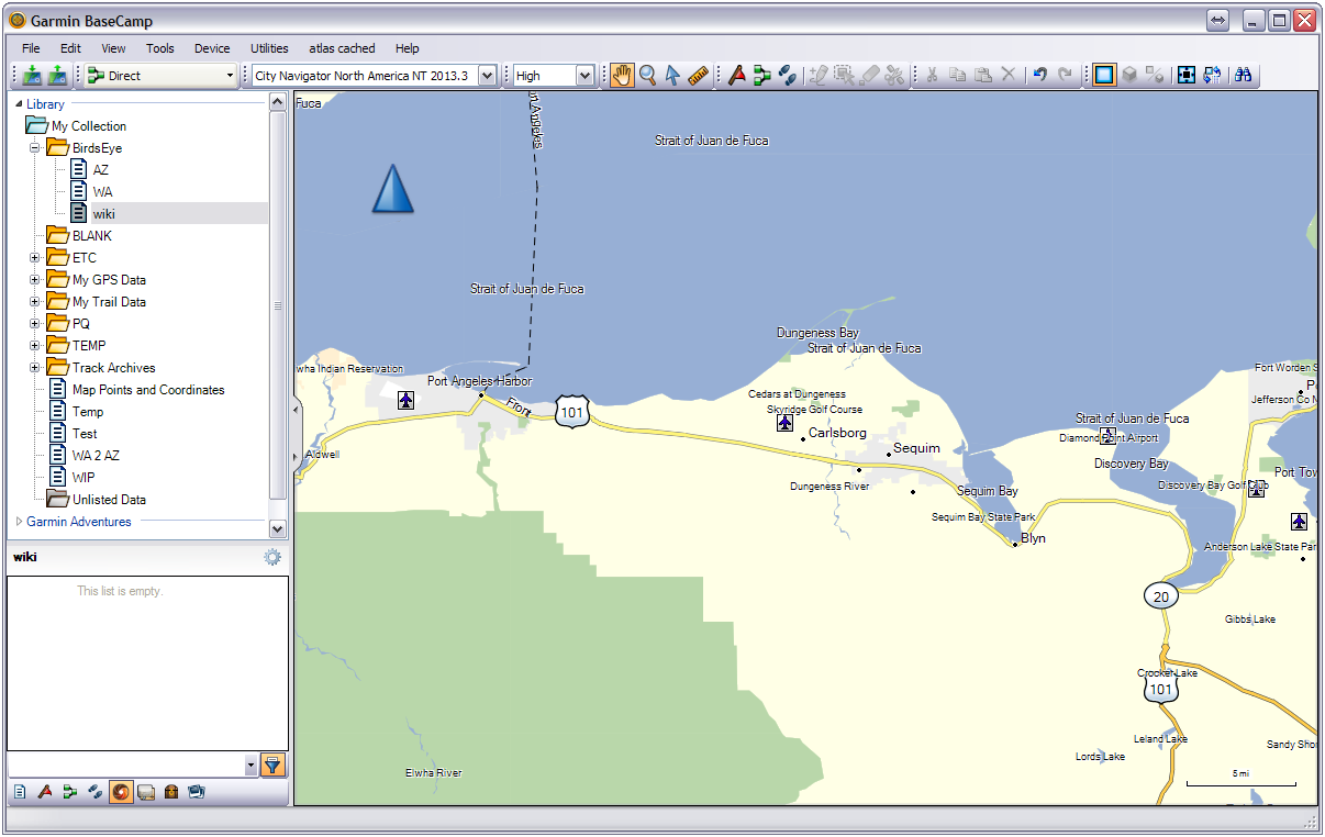
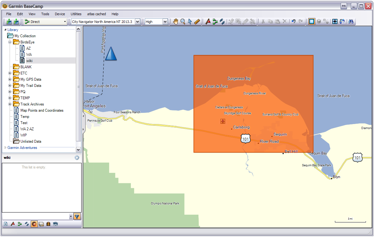
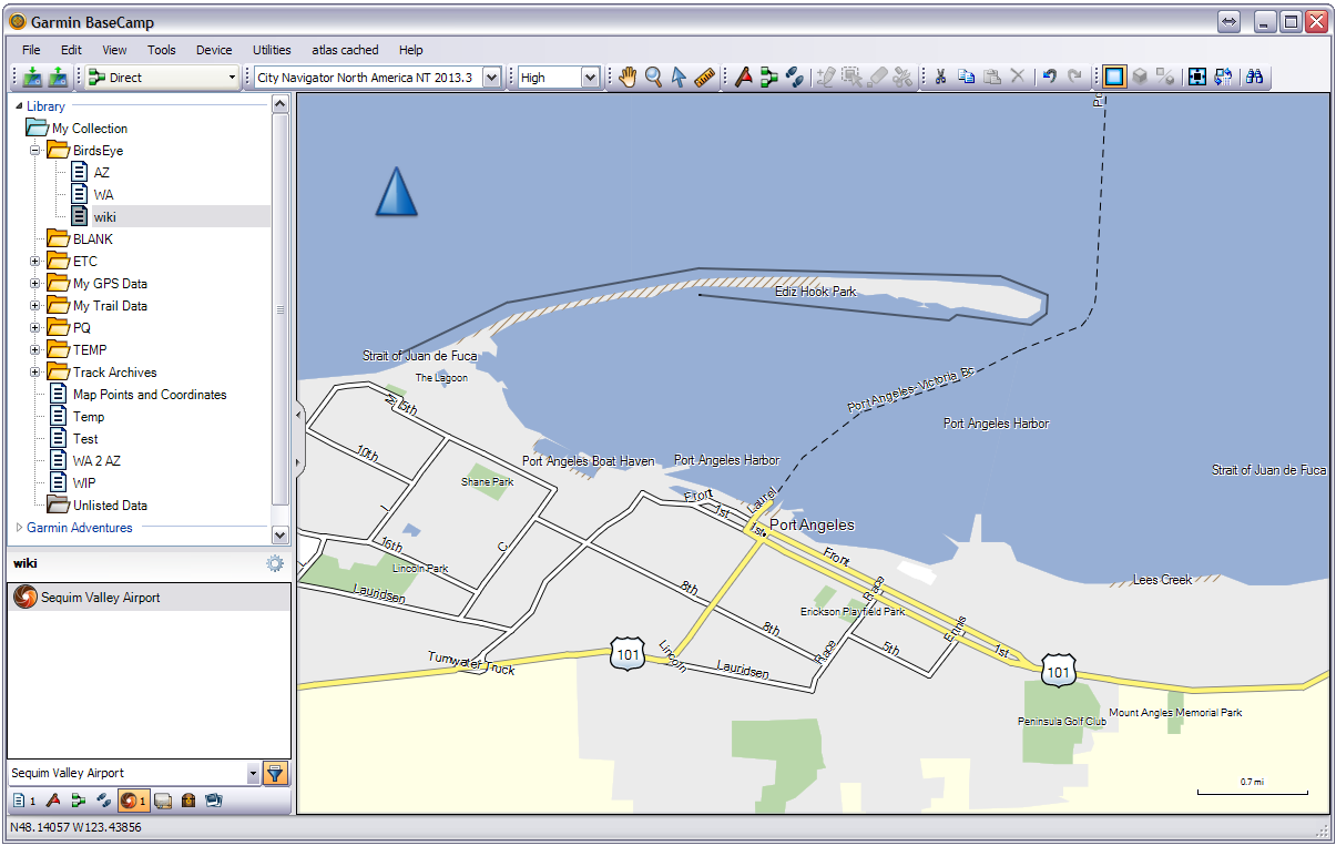
01 Open BaseCamp application: Select map area for BirdsEye imagery download.
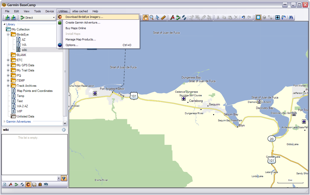
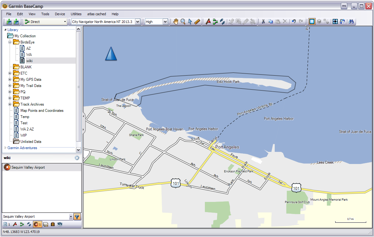
02 Select [Utilities > Download BirdsEye Imagery...]
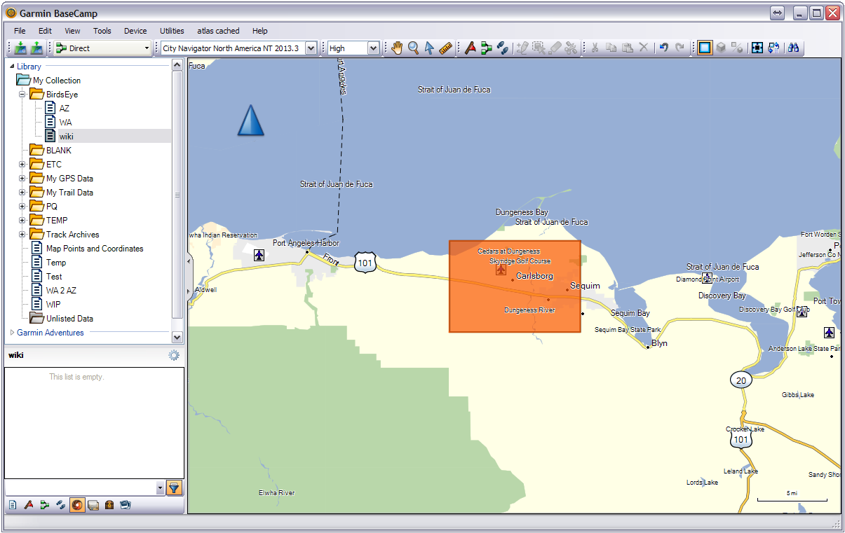
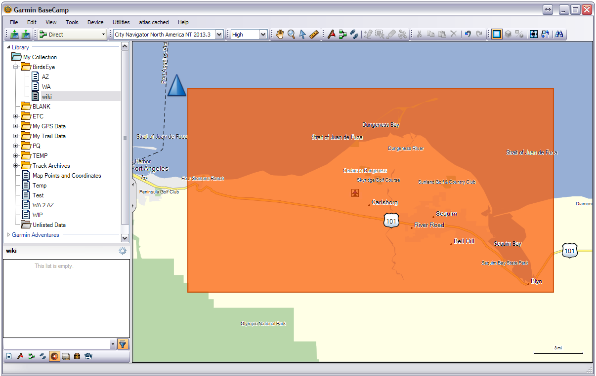
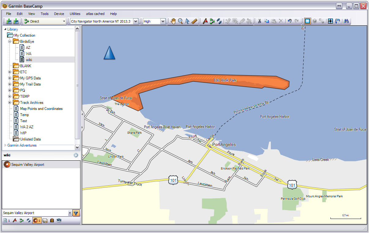
03 BaseCamp will place an orange BirdsEye selection box in the center of the map.
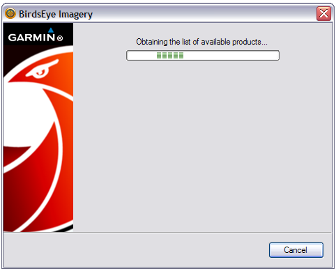
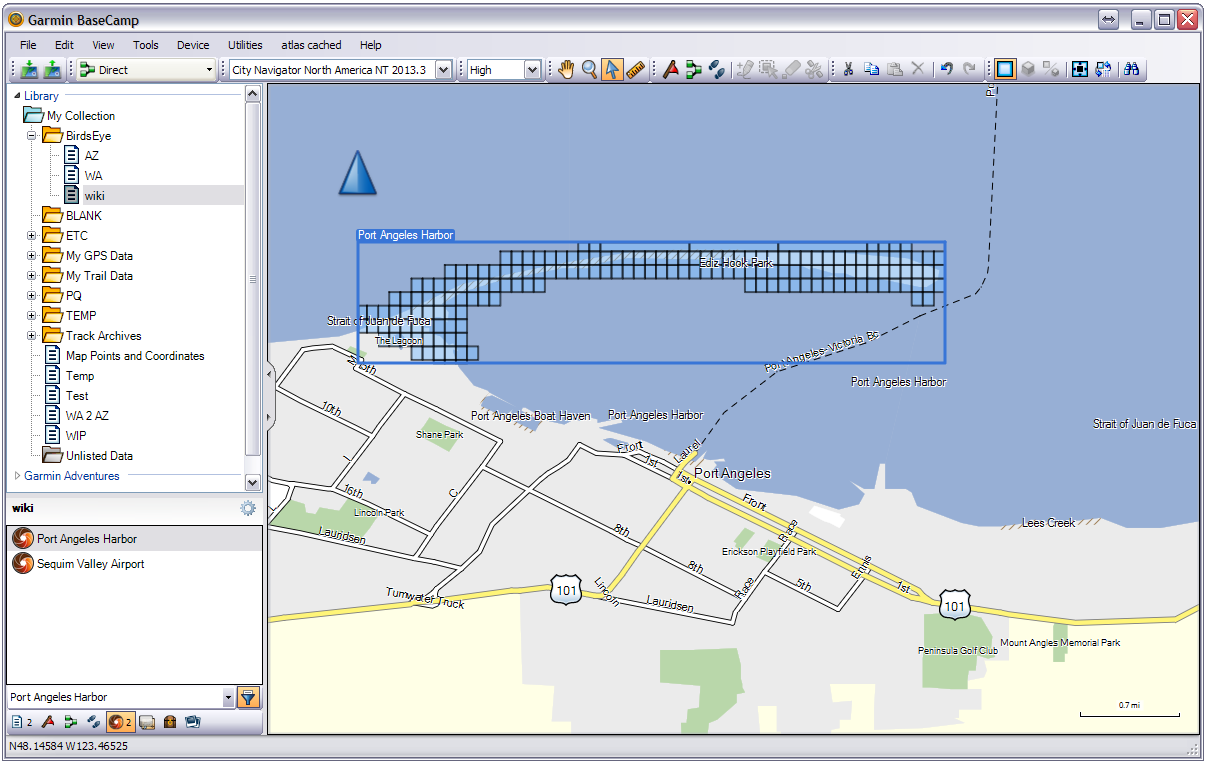
04 BaseCamp checks for available BirdsEye products...
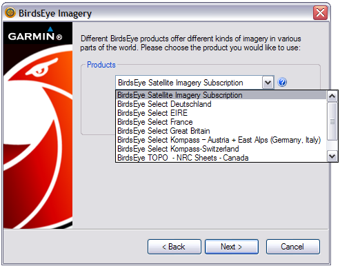
05 Choose the desired BirdsEye product from the drop down selection menu:
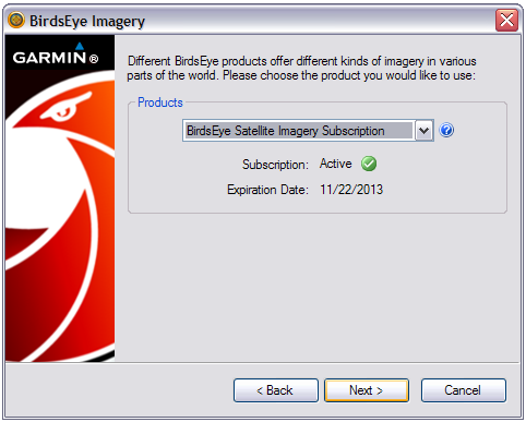
06 BaseCamp verifies subscription status:
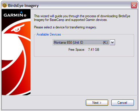
07 Select target device for BirdsEye imagery:
08 BaseCamp generates a temporary file name for the selected area:
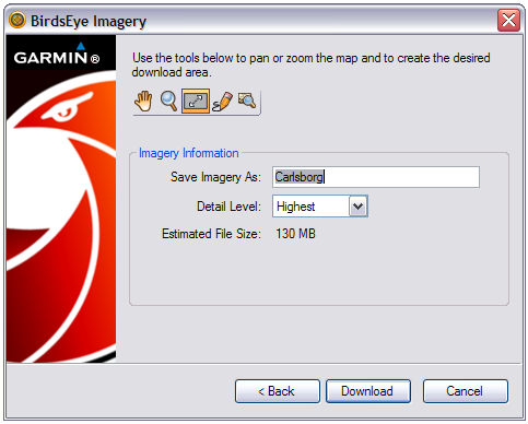
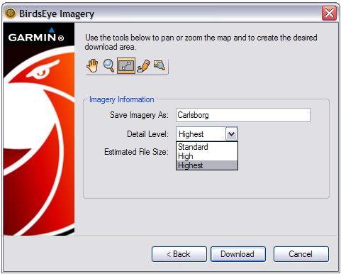
09 Choose desired detail level:
10 Use these tools to manipulate the BirdsEye selection area on the map screen:
 |
Pan map | |
|---|---|---|
 |
==/== |
Zoom in on map (Also mouse scroll-wheel) |
 |
Move/resize rectangular selection area on map | |
 |
Draw free-form area on the map | |
 |
Show entire selected area on map screen |
11 Adjust BirdsEye selection area
as desired:
12 BaseCamp alert: "Download size limit exceeded":
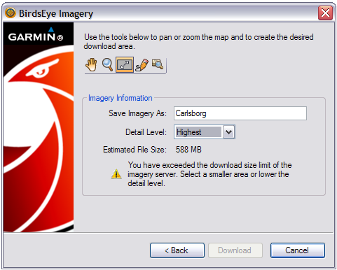
13 Reduce BirdsEye selection area to an acceptable size:
14 Edit BirdsEye file name (if desired) and select [Download]:

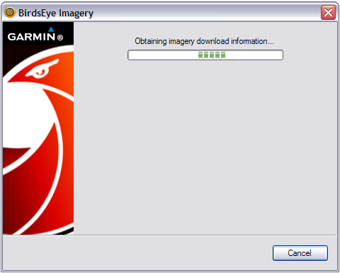
15 BaseCamp contacts BirdsEye imagery servers:
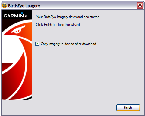
16 BirdsEye imagery download initiated. Choose final options and select [Finish]:
17 BirdsEye map selection download status window:
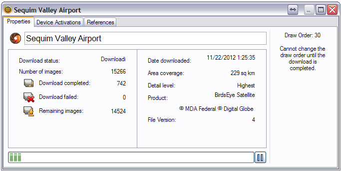
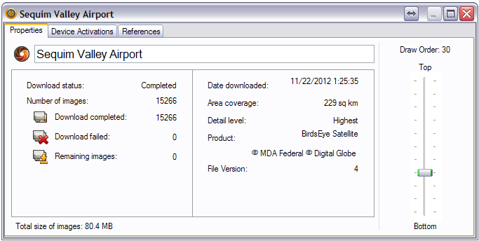
18 BirdsEye download complete! Draw Order can
now be adjusted if desired:
19 List of BirdsEye activated devices:

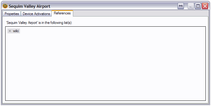
20 All BaseCamp lists referencing this BirdsEye map:
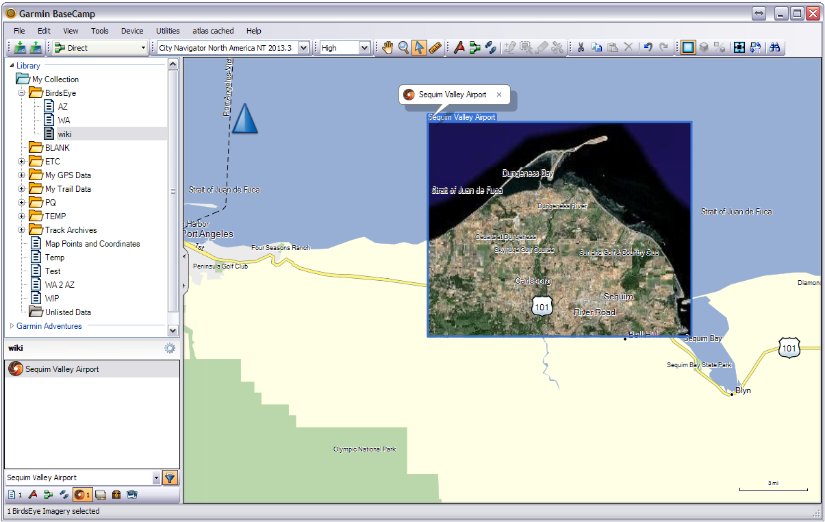
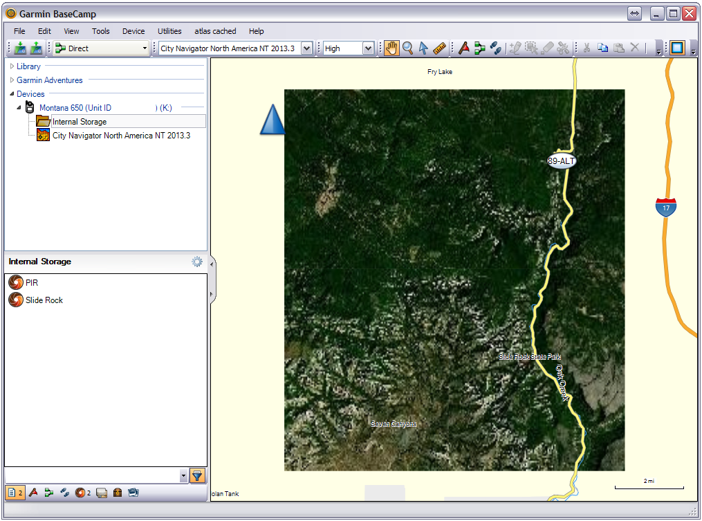
21 View BirdsEye imagery in BaseCamp map:
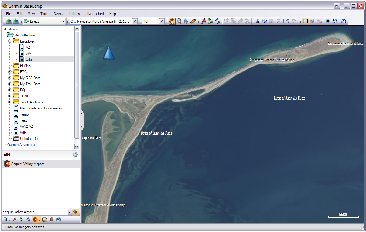
22 Zoom in on BirdsEye map to see more detail:
Free-Form BirdsEye Selection
01 Use the Free-Form tool to trace irregular areas for BirdsEye download:
02 Connect the Start and End points:
03 BaseCamp selects outlined area for BirdsEye download:
04 BaseCamp highlights map area tiles scheduled for BirdsEye download:
05 Continue with:
Download selected BirdsEye map tiles
Transfer BirdsEye Maps to GPSr
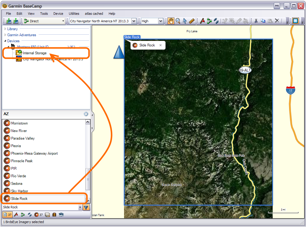
Two methods exist to transfer BirdsEye maps from BaseCamp to your Garmin GPSr:
Method 1: Drag 'n' Drop (Hold CTRL to select multiple maps)
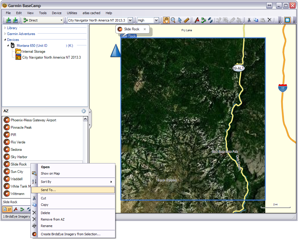
Method 2: [Send To] (Hold CTRL to select multiple maps)
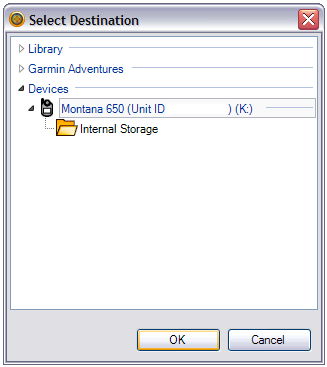
Choose a destination and select [OK]:
BaseCamp transfers the selected BirdsEye maps to the selected destination:
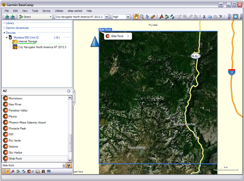
Select destination device from the 'Devices' list to verify BirdsEye map
transfer:
BirdsEye Map Archive
- You will no longer be able to transfer BirdsEye maps from BaseCamp to your GPSr after the subscription expires
- BirdsEye maps are stored on your GPSr or microSD card in the [Device]\Garmin\BirdsEye\ directory as *.JNX files
- Each *.JNX file is encrypted to the active subscription device when transferred from BaseCamp
- This GPSr is the only device that can open and use these encrypted *.JNX files
- Save copies of all *.JNX files stored on the GPSr and/or microSD card to a directory on your computer
- Create a new directory for each device with a BirdsEye subscription
- These archived *.JNX files can be copied to the appropriate GPSr when necessary
- Archived copies of *.JNX files will continue to function even after the GPSr BirdsEye subscription has expired
- TIP: Connect a high capacity USB Clone of your GPSr when downloading BirdsEye Imagery in BaseCamp, and:
- Continue using your GPSr while the BirdsEye maps are being downloaded, and
- Store the USB Clone Archive in a safe place to copy *.JNX maps back to your GPSr as needed in the future
- TIP: Install modified firmware on your Garmin device to disable BirdsEye map authentication (user assumes all risk)
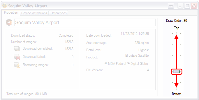
Change Draw Order
- This feature may not be available for all overlays.
- Each Garmin BirdsEye map can be adjusted to display above or below each another on the GPSr map page.
-
Images with a higher draw order will overlay images with
a lower draw order.
- Double-click the desired overlay in the Library and Devices area.
- Select the 'Properties' tab.
- Adjust the Draw Order slider as desired: