|
A
B
C
D
E
F
G
H
I J K
L
M
N
O
P
Q R
S
T
U
V
W
X Y Z |
|
|
|
|
|
A |
|
|
|
ACTIVITY DIST. |
The distance traveled for the current track or activity. |
 |
|
ALT LOCATION |
The current position in decimal degrees, regardless of the
selected position format setting. |
 |
|
AVERAGE LAP |
The average lap time for the current activity. |
 |
|
|
|
|
|
B |
|
|
|
BATTERY |
The remaining battery power. |
 |
|
BEARING |
The direction from your current location to a destination. You
must be navigating for this data to appear. |
 |
|
|
|
|
|
C |
|
|
|
COMPASS HDG |
The direction you are moving based on the magnetic compass. |
 |
|
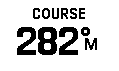
COURSE |
The direction from your starting location to a destination. You
must be navigating for this data to appear. |
 |
|
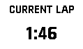
CURRENT LAP |
The stopwatch time for the current lap. |
 |
|
|
|
|
|
D |
|
|
|
DATE |
The current day, month, and year. |
 |
|
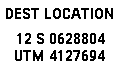
DEST LOCATION |
The position of your final destination. You must be navigating
for this data to appear. |
 |
|
DESTINATION |
The last point on the route to the destination. You must be
navigating for this data to appear. |
 |
|
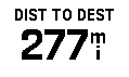
DIST TO DEST |
The remaining distance to the final destination. You must be
navigating for this data to appear. |
 |
|
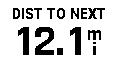
DIST TO NEXT |
The remaining distance to the next waypoint on the route. You
must be navigating for this data to appear. |
 |
|
|
|
|
|
E |
|
|
|
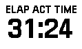
ELAP ACT TIME |
The total time recorded. For example, if you start the timer and
run for 10 minutes, then stop the timer for 5 minutes, then
start the timer and run for 20 minutes, your elapsed time is 35
minutes. |
 |
|
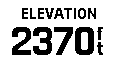
ELEVATION |
The distance between the current location and mean sea
level (MSL) using only
GPS data. |
 |
|
ETA AT DEST |
The estimated time of day when you will reach the final
destination (adjusted to the local time of the destination). You
must be navigating for this data to appear. |
 |
|
EAT AT NEXT |
The estimated time of day when you will reach the next waypoint
on the route (adjusted to the local time of the waypoint). You
must be navigating for this data to appear. |
 |
|
|
|
|
|
G |
|
|
|
GLIDE RATIO |
The ratio of horizontal distance traveled to the change in
vertical distance. |
 |
|
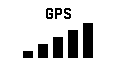
GPS |
The strength of the GPS satellite signal. |
 |
|
GPS ACCURACY |
The margin of error for your exact location. |
 |
|
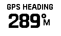
GPS HEADING |
The direction you are moving based on GPS position history. |
 |
|
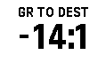
GR TO DEST |
The glide ratio required to descend from your current position
to the destination elevation. You must be navigating for this
data to appear. |
 |
|
GRADE |
The calculation of rise (elevation) over run (distance). For
example, if you climb 3 m (10 ft.) for every 60 m (200 ft.) you
travel, the grade is 5%. |
 |
|
|
|
|
|
H |
|
|
|
HEADING |
The direction you are moving. |
 |
|
|
|
|
|
L |
|
|
|
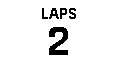
LAPS |
The number of laps completed for the current activity. |
 |
|
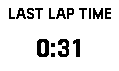
LAST LAP TIME |
The stopwatch time for the last completed lap. |
 |
|
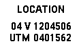
LOCATION |
The current position using the selected position format setting. |
 |
|
|
|
|
|
M |
|
|
|
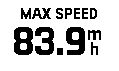
MAX SPEED |
The highest speed reached since the last reset. |
 |
|
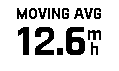
MOVING AVG |
The average speed while moving since the last reset. |
 |
|
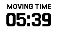
MOVING TIME |
A running tally of the total time spent moving since the last
reset. |
 |
|
|
|
|
|
N |
|
|
|
NEXT POINT |
The next point on the route. You must be navigating for this
data to appear. |
 |
|
NONE |
This is a blank data field. |
 |
|
|
|
|
|
O |
|
|
|
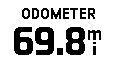
ODOMETER |
A running tally of the distance traveled for all trips. This
total does not clear when resetting the trip data. |
 |
|
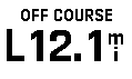
OFF COURSE |
The distance to the left or right by which you have strayed from
the original path of travel. You must be navigating for this
data to appear. |
 |
|
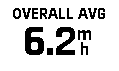
OVERALL AVG |
The average speed while moving and stopped since the last reset. |
 |
|
|
|
|
|
P |
|
|
|
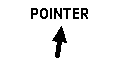
POINTER |
An arrow points in the direction of the next waypoint or turn.
You must be navigating for this data to appear. |
 |
|
|
|
|
|
S |
|
|
|
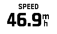
SPEED |
The current rate of travel. |
 |
|
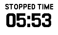
STOPPED TIME |
A running tally of the time spent not moving since the last
reset. |
 |
|
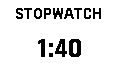
STOPWATCH |
The stopwatch time for the current activity. |
 |
|
SUNRISE |
The time of the next sunrise for the current device GPS
position. |
 |
|
SUNRISE/SET |
The time of the next sunrise or sunset for the current device
GPS position. |
 |
|
SUNSET |
The time of the next sunset for the current device GPS position. |
 |
|
|
|
|
|
T |
|
|
|
TIME OF DAY |
The time of day based on your current location and time settings
(format, time zone, daylight saving time). |
 |
|
TIME TO DEST |
The estimated time remaining before you reach the destination.
You must be navigating for this data to appear. |
 |
|
TIME TO NEXT |
The estimated time remaining before you reach the next waypoint
in the route. You must be navigating for this data to appear. |
 |
|
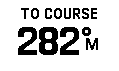
TO COURSE |
The direction in which you must move to get back on the route.
You must be navigating for this data to appear. |
 |
|
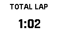
TOTAL LAP |
The stopwatch time for all the completed laps. |
 |
|
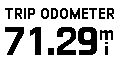
TRIP ODOMETER |
A running tally of the distance traveled since the last reset. |
 |
|
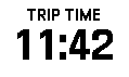
TRIP TIME |
A running tally of the total time spent moving and not moving
since the last reset. |
 |
|
TURN |
The angle of difference (in degrees) between the bearing to your
destination and your current course. L means turn left. R means
turn right. You must be navigating for this data to appear. |
 |
|
|
|
|
|
V |
|
|
|
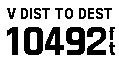
V DIST TO DEST |
The elevation distance between your current position and the
final destination. You must be navigating for this data to
appear. |
 |
|
V DIST TO NEXT |
The elevation distance between your current position and the
next waypoint in the route. You must be navigating for this data
to appear. |
 |
|
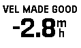
VEL MADE GOOD |
The speed at which you are closing on a destination along a
route. You must be navigating for this data to appear. |
 |
|
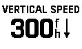
VERTICAL SPEED |
The rate of ascent or descent over time. |
 |
|
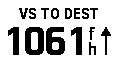
VS TO DEST |
The rate of ascent or descent to a predetermined altitude. You
must be navigating for this data to appear. |
 |
|
|
|
|